
The long and winding Roman road
June 24, 2024, 10:33 am , by Richard Lutz
RICHARD LUTZ follows a path into times past
When you walk into the Lowther Hills in Dumfriesshire, you don’t so much encounter remote terrain- and it can get remote with just you and the wind- as trip and stumble over the words describing the world around you.
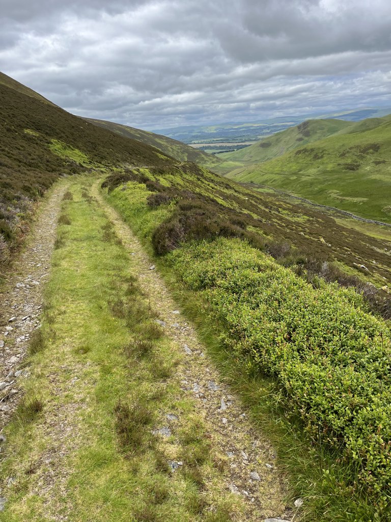
I walk on the course of the Old Roman Road which connected two Scottish valleys, The Nith and The Clyde. The route was hammered out some 1900 years ago and today roams northeast out of a sleepy hamlet called Durisdeer.
The Romans knew a straight line when it wanted one. Unless, when it came to the rough bounds of Northern Britain, it had to follow the endless contours of hills, rivers and glens. Today, the route is still used as a farmtrack and stalking trail.
Around me as I leave the Nith Valley heading into the Lowthers, my map explains this land: there is a cleuch (a ravine), a rig (a ridge), a sike (a small marshy stream) and an odd one, a grain, which seems to be a fork off a sike.
So, Yed Grain and Lavern Grain tipple into bigger streams and burns between Eller Cleuch and Caplaw Rig.
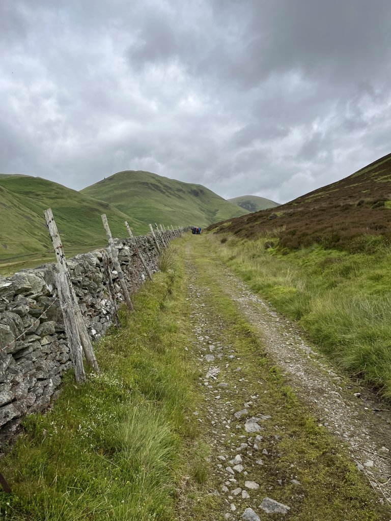
The Lowthers, southwest of Glasgow and a billion miles from its teeming streets, are green with early summer, scoured by clouds and shadows. We stop for lunch under the sharp brow of Pettylung Hill, which famously overlooks a stone slab intriguingly called Samson and his Wife. No one can see outlines of the Biblical hero. Just a grey stern mass of rock looming over the Dalveen Pass.
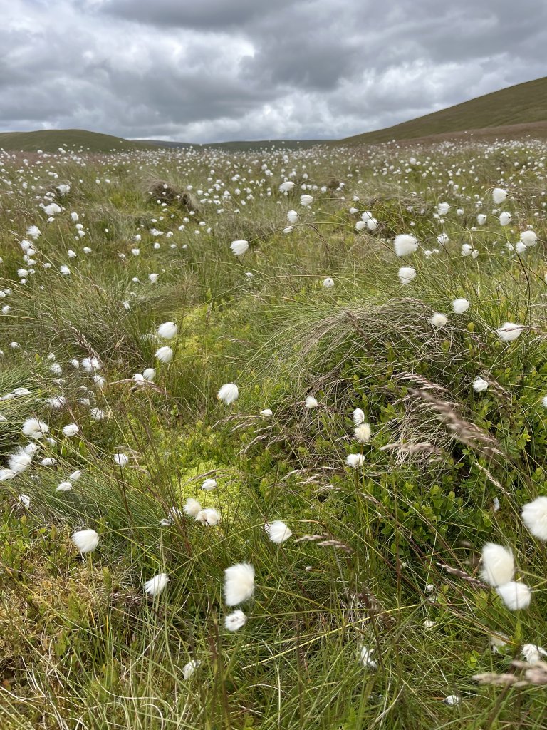
We troop through upland marsh. Cotton grass marks the moor:
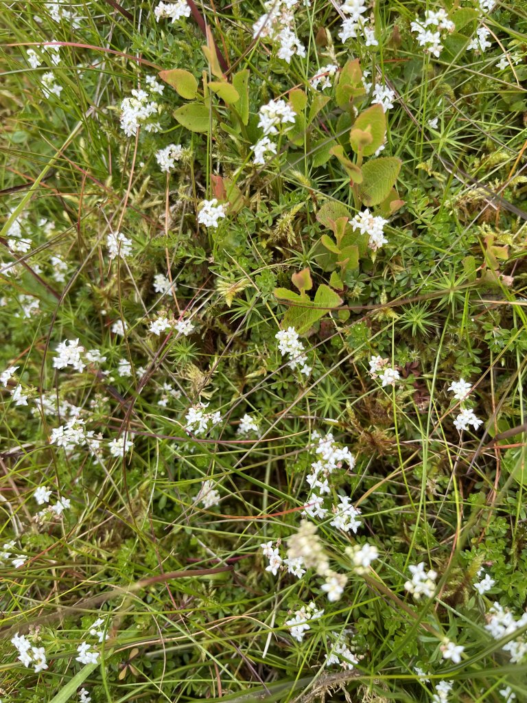
And there’s little white dots of the Heath Bedstraw (which sounds like the name of a 1960’s Cornish folk singer):
Above, skylarks call like mad scientists tweeking gauges, knobs and dials. All around are names, names, names: Stonycleuch Rig, Stanebutt Hill, and (my favourite) The Wee Well Crags.
Not to be outdone, there’s also Well Hill, Well Height and, of course, the course of the Roman route itself which is, in some forms, now called The Well Path. Possibly, they’re all linked to a forgotten sacred water source hidden in the green hills above.
Protecting the old route and standing stern in the heart of this terrain is a Roman fort:
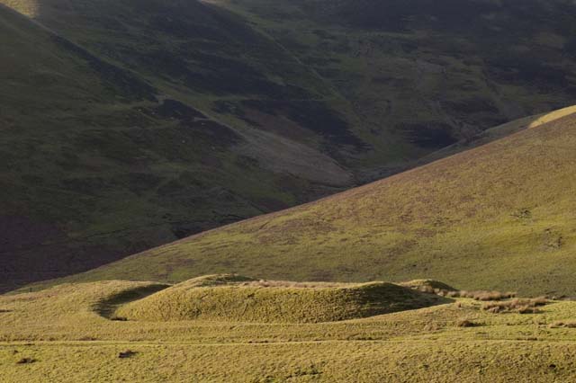
Today it’s a rounded silent hump, a square encampment surrounded by a circular wall. It was a forward garrison, built after 140AD, ready for action, scanning the threatening hills above and the important rich valleys below.
Looking down from the hills, I think of some grizzled foot soldier checking the upper rigs for signs of a murderous attack, the sky brimming with sweeping rain, while dreaming of a warm Tuscan vineyard and wondering how he landed at this remote outpost of the empire, an empire that maybe stretched too far.
Fort photo: Tom Richardson
share this post!


Lesley Corbett
❤️
JS from Dumfries
I love that path up to the old fort. It just reeks of history.
Alan Holland
One wonders what, if anything, of the infrastructure we have built will remain to be puzzled over in 1900 years time.
Will Travel
👍
Kaye Nfumi
Nice images
Lil W from San Diego
Looks beautiful
Tim Berland
👍
Subscribe to new posts.